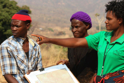
Geospatial technology and participatory methods for securing tenure rights
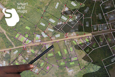
Geospatial toolkit
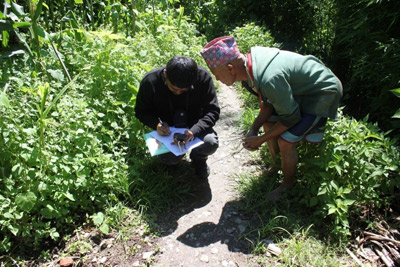
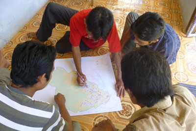
Geomatics and land tenure
Geospatial technology and participatory methods for securing tenure rights
IFAD and FAO are offering an online learning programme to support projects and partners in finding solutions to secure tenure rights through the combined application of participatory methods and geomatics technology.
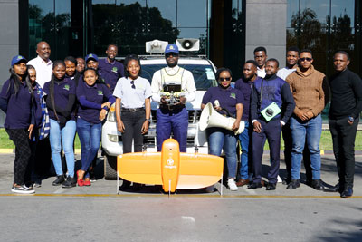
The pilot edition of the GeoTech4Tenure programme ran in the first half of 2021.
Webinar series: Geospatial technologies for land recordation
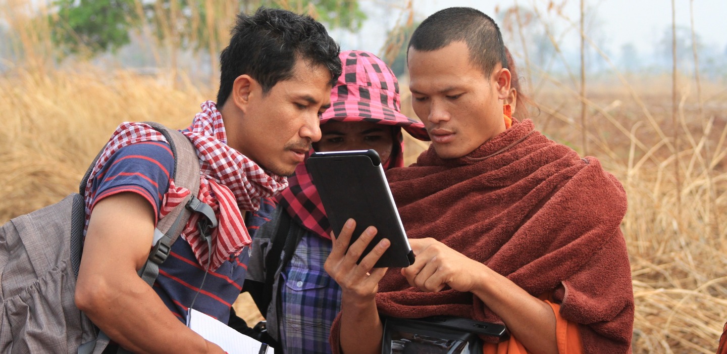
The learning programme is accompanied by a series of webinars where technology providers present their software solutions for land recordation and give examples how they are applied in practice. Each webinar is 30 minutes.
SOLA & Open Tenure are open-source software to help protect tenure rights and support the implementation of the Voluntary Guidelines on the Responsible Governance of Tenure of Land, Fisheries and Forests. These tools include solutions for land administration (SOLA) and community tenure recording (Open Tenure).
Presenter: Maria Paola Rizzo, Land tenure officer and field geo-data collection tool specialist at FAO
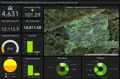
The Community Land Value Chain Approach (CaVaTeCo) is a conceptual model and a platform of tools that help rural communities in Mozambique to secure and leverage their land rights under Mozambican Law. The methodology provides step-by-step guidance and support for the first time registration of land rights, both at community level, and then for individual households.
Cadasta develops and promotes simple digital tools and technology to help to efficiently document, analyse, store, maintain and share critical land and resources rights information.
Presenter: Frank Pichel, Co-founder and chief programs officer of Cadasta Foundation
Mobile Applications to Secure Tenure | 29 July 2021
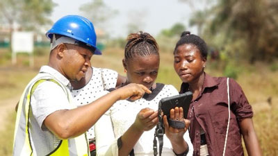
USAID’s Mobile Applications to Secure Tenure (MAST) is a tool-agnostic approach that uses common land administration and resource management data standards and can be adapted by any development partners and stakeholders to test and scale new methods for participatory land and resources management.
Presenter: Ioana Bouvier, senior spatial data science and technology advisor, USAID
Social Tenure Domain Model (STDM) | 9 September 2021
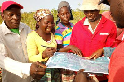
The Social Tenure Domain Model (STDM) is a pro-poor, participatory and affordable land information tool to represent people-to-land relationships along the ‘continuum of land rights’ frameworks. It is a system based on open and free software packages. It has been applied in both rural and urban contexts in different contexts in various countries.
The Jaringan Kerja Pemetaan Partisipatif (JKPP), or the Indonesian Community Mapping Network, and its members have carried out participatory mapping covering a total area of 17.1 million hectares in Indonesia. The mapped areas are presented on a portal that brings together various GIS data sets, including 3,405 community-managed areas and 481 disputed areas. The network uses this to advocate for the recognition of indigenous and local communities' land.
The startup helps communities use high-resolution aerial or satellite imagery to interact, discuss and reach a consensus on community members' ownership and land use rights. A cloud-based digitisation pipeline then converts community-drawn paper maps into a standardised and digital format.
The public benefit corporation provides user-friendly, low-cost land titling and administration systems. They use blockchain and other technologies (such as cryptography, Artificial Intelligence and others) to support land governance, titling, and administration with a secure public record of land ownership.
The Nairobi-based consulting company supports people and organizations in adopting technologies to collect data that is important to them. The company works in environments with poor data availability, and on issues of significant global importance.