Mapping land and natural resource rights, use and management
Mapping land and natural resource rights, use and management
2012
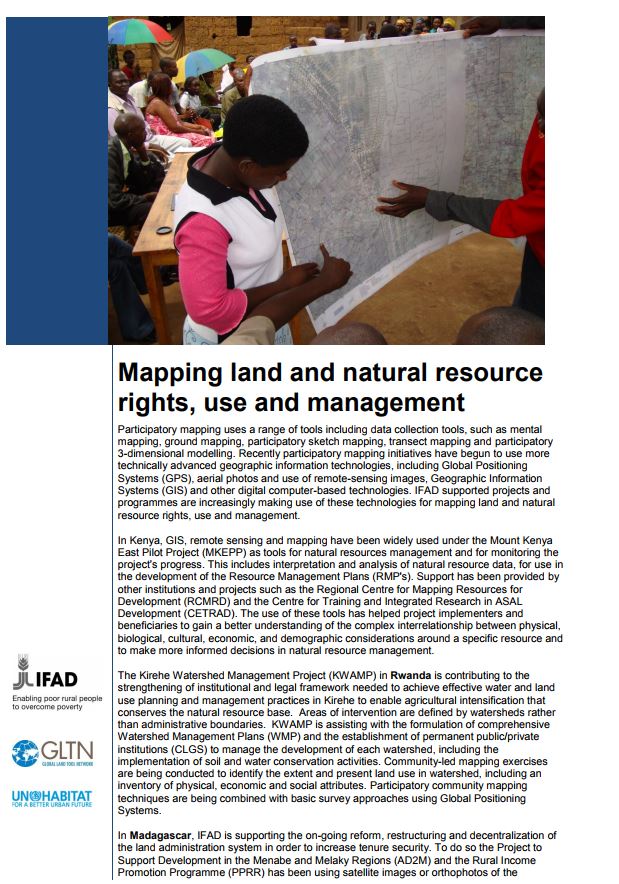
Participatory mapping uses a range of tools including data collection tools, such as mental mapping, ground mapping, participatory sketch mapping, transect mapping and participatory 3-dimensional modelling.
Recently participatory mapping initiatives have begun to use more technically advanced geographic information technologies, including Global Positioning Systems (GPS), aerial photos and use of remote-sensing images, Geographic Information Systems (GIS) and other digital computer-based technologies.
IFAD supported projects and programmes are increasingly making use of these technologies for mapping land and natural resource rights, use and management.

Topics
Water