Geospatial technologies for land recordation
Geospatial technologies for land recordation
15 September 2022
Time: 11:30-12:00 CET
IFAD’s Land Tenure Desk and FAO’s Land Tenure present the seventh webinar in their series on technological solutions for land recordation, part of the GeoTech4Tenure learning programme.
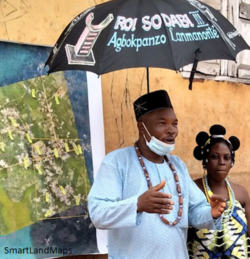
During this webinar, Claudia Stöcker from SmartLandMaps will discuss how they use spatial data tools and services to document land rights and land use. Using high-resolution satellite imagery, communities discuss community members' ownership and land use rights. Community-drawn paper maps are then converted into a standardised and digital format.
