Participatory mapping and innovative land portal in Indonesia
Participatory mapping and innovative land portal in Indonesia
07 October 2021
11:30 - 12:00 CEST
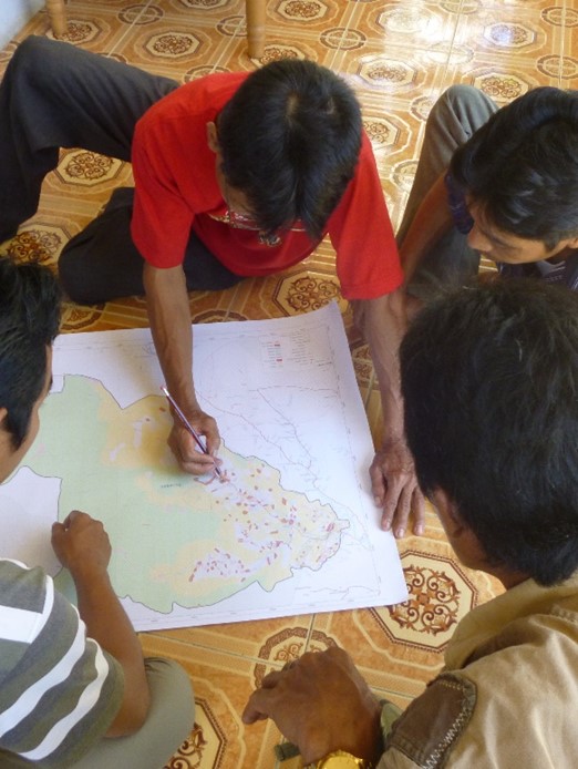
This webinar will present the work of the Jaringan Kerja Pemetaan Partisipatif, or JKPP (in English: Indonesian Community Mapping Network). This consortium, established in 1996, has more than 200 members comprising NGOs, people’s organizations, peasant organizations, and individuals. JKPP and its members carry out participatory mapping in Indonesia. To date, they have covered a total area of 17.1 million hectares.
Many of the mapped areas can be found on Tanahkita.id, an online land portal that brings together various GIS data sets including 3,405 community-managed areas and 481 disputed areas. The network uses the portal to advocate for the recognition of indigenous and local communities' land. The platform also monitors the progress of the government’s “Social Forestry, Customary Forest, and Land Reform Object'' programme, which aims to expand areas under the management of communities and/or indigenous peoples.
This event is part of a series of webinars on geospatial technologies for land recordation.
Speakers
- Dewi Sutejo, Deputy of JKPP
- Muhammad Abdul Azis, Administrator of the tanahkita.id land portal for JKPP
