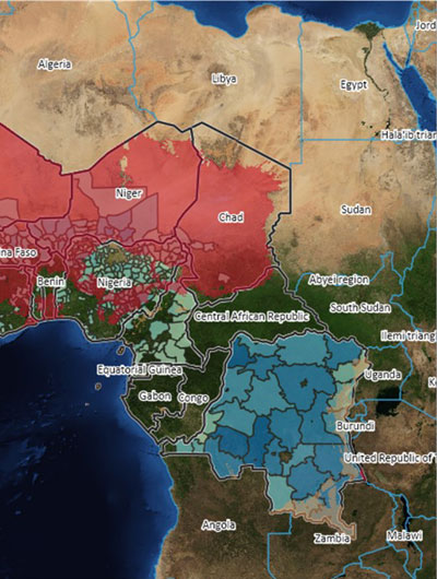
Spatial country profiles providing analytics and interactive visualizations for West and Central Africa
Spatial country profiles providing analytics and interactive visualizations for West and Central Africa
31 March 2021
12:00-12:30 CET
Timely and accurate geospatial data is an essential tool for evidence-based decision-making in IFAD operations. Yet getting an overview of what geospatial data exists, assembling the data and analyzing it is complex and time-consuming.
In this webinar, IFAD will present GeoScan, an innovative IT application giving access to over 180 data layers from verified sources that can be used in the design of IFAD strategies and projects for countries in West and Central Africa.

Location
Webcast on this page