Webinar: Pasture health maps in Kyrgyzstan
Webinar: Pasture health maps in Kyrgyzstan
24 marzo 2021
12:00-12:30 CET
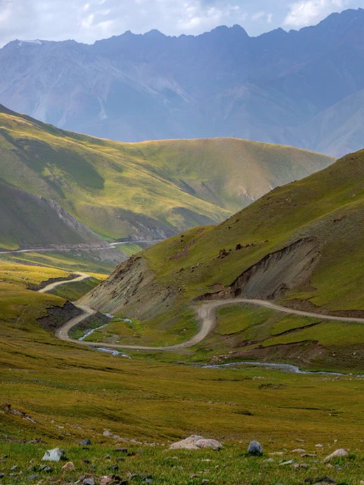
This short and informative webinar will present an interesting geo-spatial study that used pasture type maps, geo-botany maps, and remote sensing to analyse the health of pastures in one municipality in Kyrgyzstan.
Geo-spatial assessments with geo-botany maps may offer more insights than conventional pasture assessments using solely Earth observation data, as they allow to assess the nutritional and ecological value of pastures at large scale.
